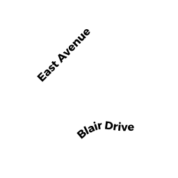
12 BLAIR DR
Owner Information
COPPOLA MAUREEN
12 BLAIR DR
KINGSTON, MA 02364


Property Details
12 BLAIR DR is classified as a Single Family Residential (Modern/contemp).
The primary structure on this property was built in 2017. There are 8,315ft2 of built area within this property. There is 3,813ft2 of residential/living space within this property.
12 BLAIR DR is valued at $1,024,646. The land is valued at $308,246 and the structures are valued at $705,400. There is an additional valuation of $11,000 on this property.
The most recent deed for 12 BLAIR DR is recorded at the local registrar in Book 50187, Page 0054. 12 BLAIR DR was last sold on Monday, August 20, 2018 for $1.
Assessment data from fiscal year 2021.
Flood Data
According to the FEMA National Flood Hazard Layer, this property does not appear to be in a flood zone. It may also be in an area not yet reviewed. Nonetheless, confirm this information prior to taking any action.
To view the flood hazards around this property, create a FEMA "Firmette" Map of the area around 12 BLAIR DR.
Broadband Internet Providers
| Provider | Type | Bandwidth (mbps) | |
|---|---|---|---|
| HughesNet | Satellite | 25 | 3 |
| VSAT Systems, LLC. | Satellite | 2 | 1 |
| Viasat Inc | Satellite | 100 | 3 |
| Verizon New England Inc. | DSL | 1 | 0 |
| Verizon New England Inc. | Fiber | 940 | 880 |
| Comcast | Cable | 1000 | 35 |
| GCI Communication Corp. | Satellite | 0 | 0 |
Broadband service provider data from December 2020.
Adjacent Properties
- 14 BLAIR DR
Single Family Residential owned by OWEN DOUGLAS C - 2 LANTERN LN
Single Family Residential owned by CLARKE JONATHAN & LESLIE A - 23 EAST AV
Single Family Residential owned by LANDRY NICOLE J - 19 EAST AV
Single Family Residential owned by GRIMBILAS BRENDA J - 10 BLAIR DR
Single Family Residential owned by CINGOLANI LILIAS F TRUSTEE